

Features Pocket Maps
Welcome to Pocket Maps, the app for safely exploring the outdoors on public access land in Aotearoa, New Zealand.Pocket Maps is developed and owned by Herenga ā Nuku Aotearoa, the Outdoor Access Commission, and displays a range of maps and layers that are also available on the Herenga ā Nuku mapping system.
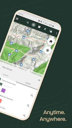
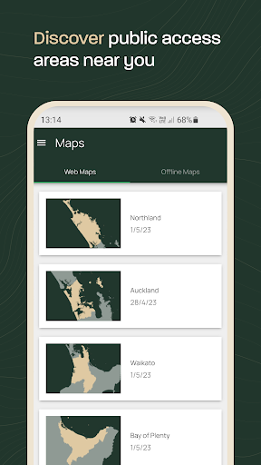
Pocket Maps displays Public Access Areas derived by Herenga ā Nuku from cadastral information, which indicate what land is publicly accessible.
The app also contains offline topographic maps, tracks, recreation spots, huts and campsite layers which are maintained and owned by other government agencies.Features include: • Publicly accessible areas in Aotearoa, shown by type• Range of map layers for outdoor recreation• Ability to generate elevation profiles • Get coordinates and share• Selection of high quality basemaps• Offline topographic maps of each region• Find your location • Draw and measure routes
Social Features
Connect and share with friends and the community.
Gaming Features
Enjoy immersive gaming experience with various game modes.
Food & Dining
Discover recipes and order food from your favorite restaurants.
See the Pocket Maps in Action
Get the App Today
Available for Android 8.0 and above